FlyView
All your drones on a single map, in real time.
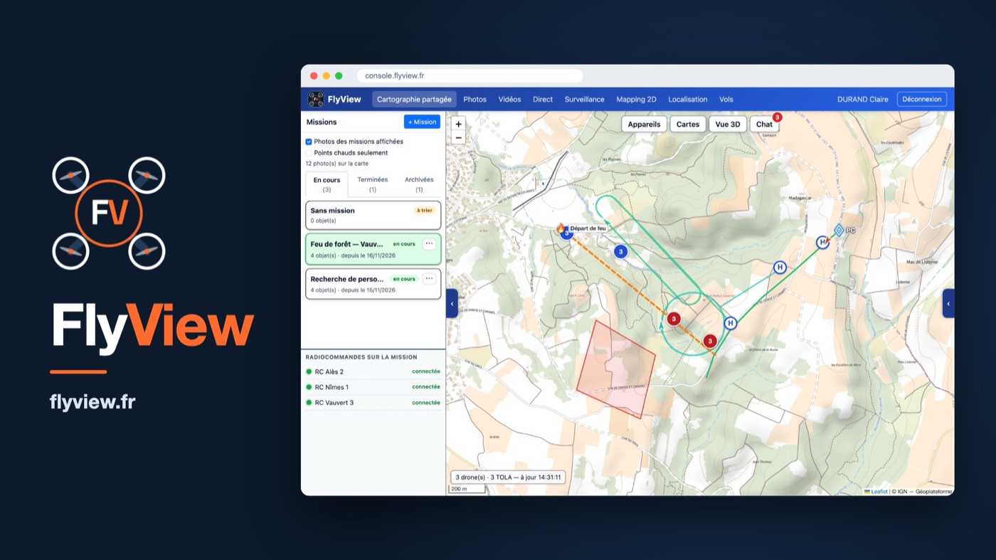
When several drones fly on the same operation, FlyView connects the pilots to the command post. Everyone sees the other aircraft and what is drawn on the map, while HD photos and videos arrive in the mission automatically.
Who is it for?
Emergency services and civil protection, law enforcement, local authorities, network operators, infrastructure inspection.
Available on
Key features
Shared situation map
Drones, areas and points of interest, seen by everyone in real time.
HD photos and videos
Media arrive in the mission automatically, with no handling.
Live video
The command post follows each drone live.
Hosted in France
Mission chat, secure sharing and data hosted in France.
In the same sector
An application like this for your organisation?
Each application can be adapted to your organisation, or serve as the basis for a custom development.
Let's talk